Skip to content
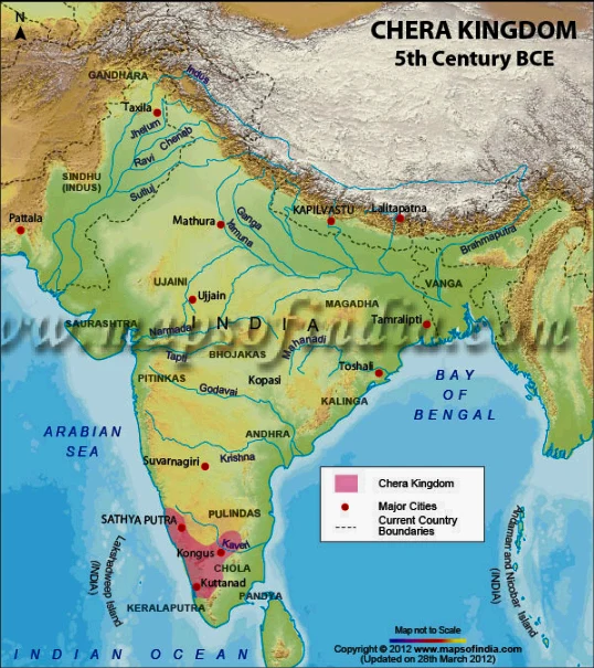
A physical relief map titled Chera Kingdom 5th Century BCE, showing the Indian subcontinent with rivers, mountain ranges, the Arabian Sea, Bay of Bengal and Indian Ocean. The Chera Kingdom is shaded pink along the southwestern coast, with red dots marking major cities such as Kongus, Kaveri, Kuttanad and Kerala region, and a legend box in the lower right. Map text labels include Gandhara, Taxila, Ujjain, Kalinga, Tamralipti and others. No people are present.