Skip to content
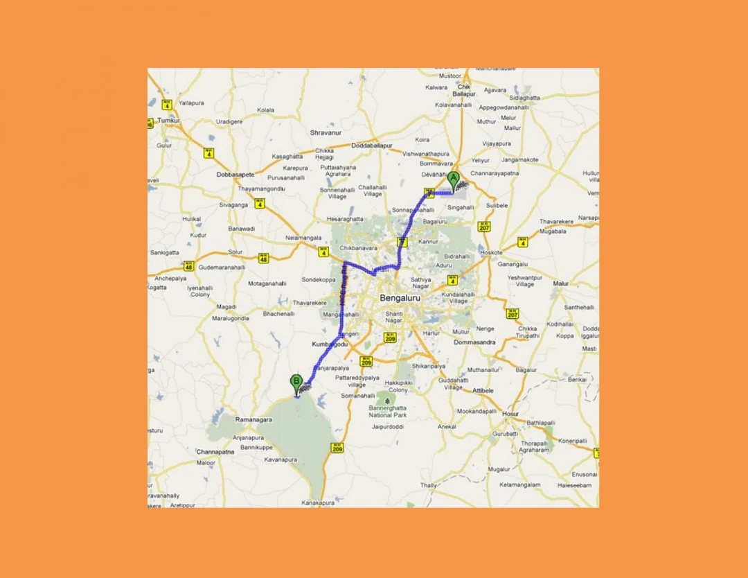
A road map graphic of the Bengaluru region on a plain grey background framed by an orange border. Two green map pins marked A and B are joined by a thick blue route line running from the northeast of the city, through central Bengaluru, down to the southwest near Kanakapura and the Ramanagara area. Place names including Bengaluru, Kumbalgodu, Bidadi-area roads, Bannerghatta National Park, Ramanagara and Kanakapura are printed in the map, with yellow highway markers and green-shaded parks.