Skip to content
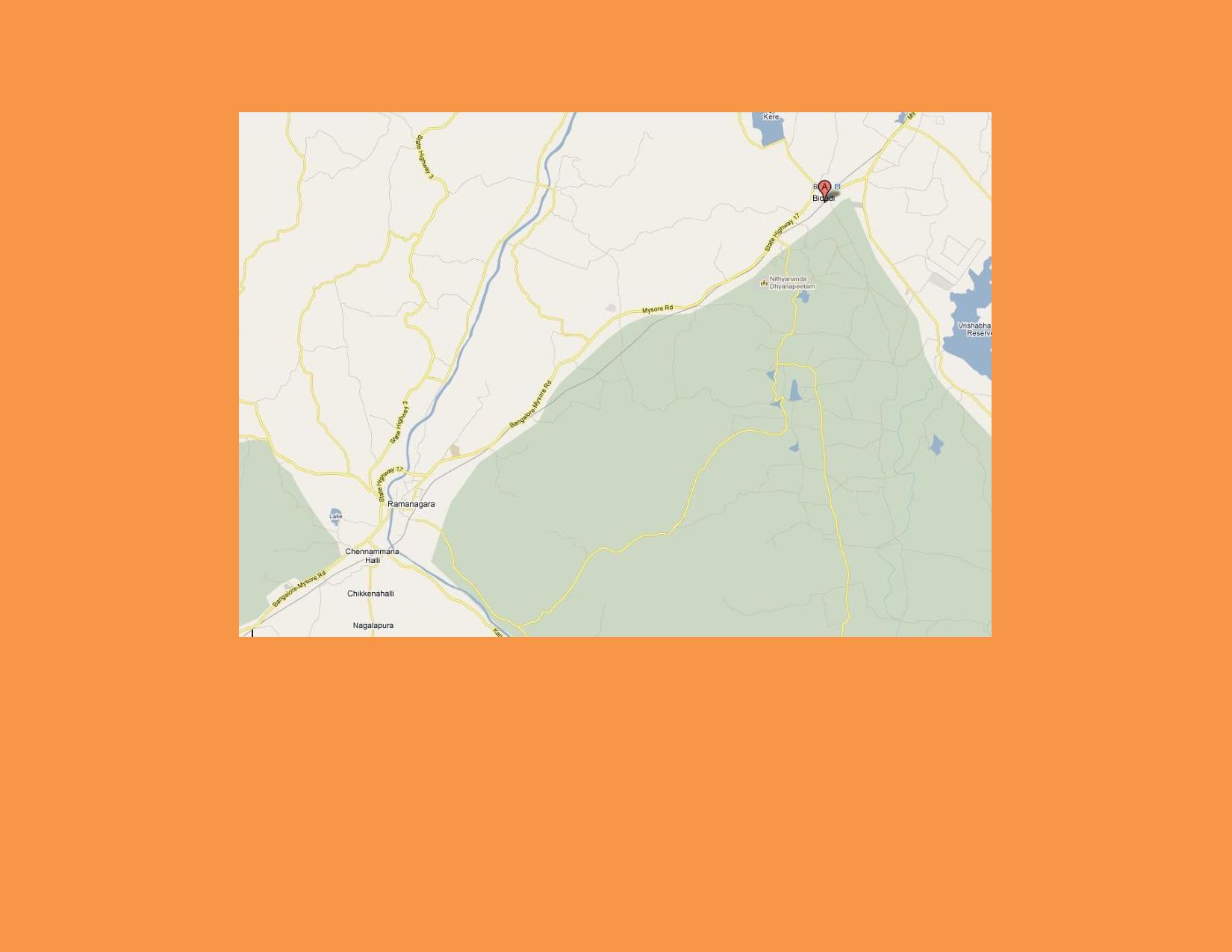
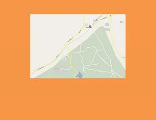
A street map graphic of the Bangalore to Bidadi route, shown on a plain orange background. Pale beige roads, a blue river and light green forested areas fill the map. A red location pin marks Bidadi at the upper right, beside a green area labelled Nithyananda Dhyanapeetham. Towns including Ramanagara, Chennammana Hatti, Chikkenahalli and Nagalapura are labelled, with Mysore Road and Bangalore-Mysore Highway visible. A blue lake is marked near the right edge.