Skip to content
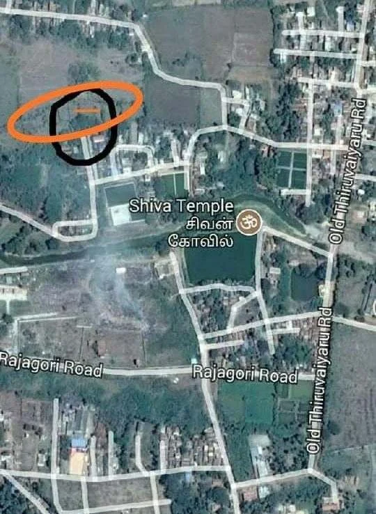
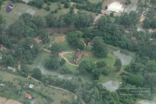
A satellite or aerial map view of a rural area with roads, fields, ponds and buildings. A Shiva Temple is labelled in English and Tamil with a small Om symbol marker beside a pond. Rajagori Road runs across the lower middle, and Old Thiruvaiyaru Road runs down the right side. A black circle and an orange oval outline a small compound in the upper left area of the map. No people are visible.
Photo 1 of 4 from 8 June 2019