Skip to content
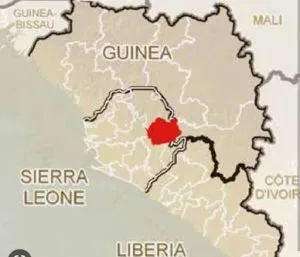
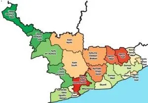
A map graphic of West Africa showing Guinea with its internal regional divisions in pale beige and white outlines. One region is highlighted in solid red near the centre of the country. Neighbouring countries are labelled, including Sierra Leone, Liberia, Guinea-Bissau, Mali and Côte d'Ivoire, with the coastline visible along the left edge. The image contains no people or ritual scene.
Photo 2 of 5 from 12 March 2023