Skip to content
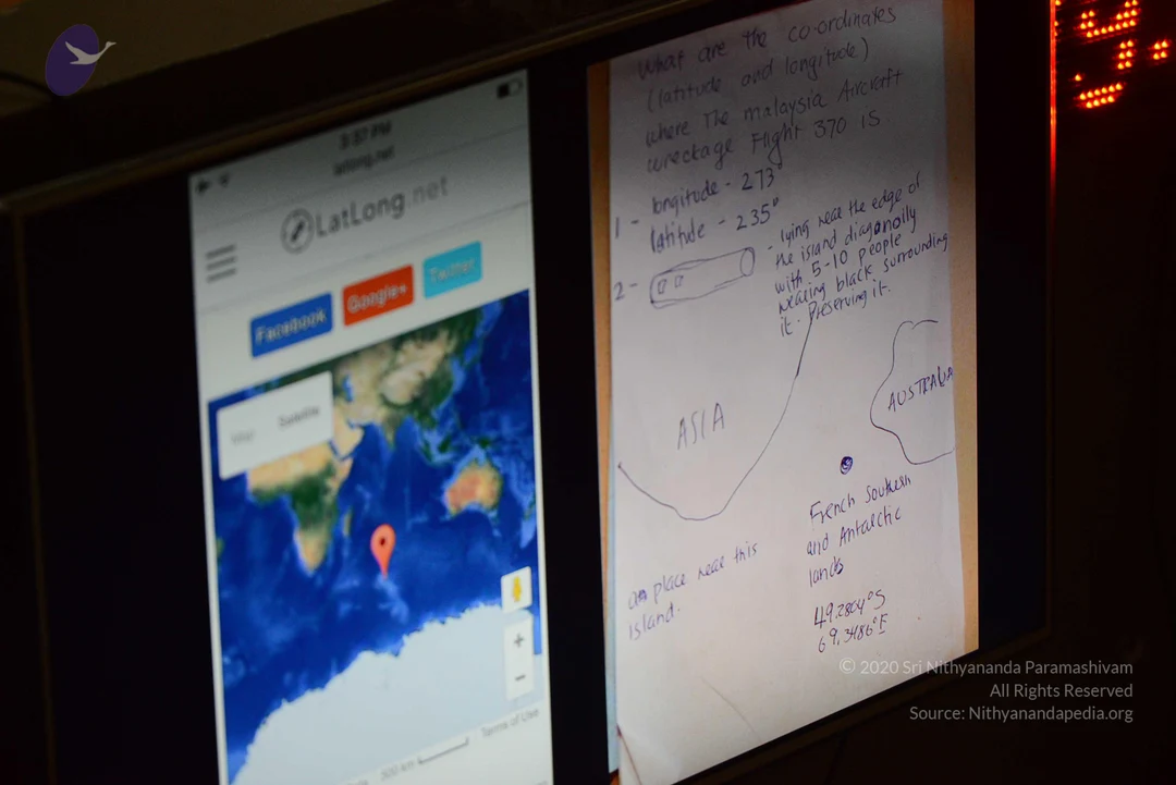
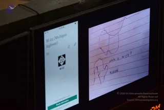
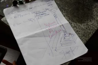
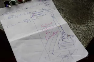
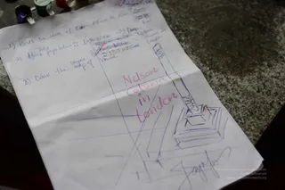
A photograph of two screens in a dim room. The left screen shows a LatLong.net webpage with a satellite map of the Indian Ocean area and a red location pin, with Asia and Australia visible. The right side shows a sheet of handwritten notes on paper asking for the coordinates where the Malaysia Aircraft wreckage Flight 370 is, listing longitude and latitude values, a hand-drawn sketch of an island with notes about people, and a map sketch labelled ASIA and AUSTRALIA with the words French Soukesh and Antarctic lands and coordinates 49.2804°S 69.3486°E. No people are visible in the scene.
Photo 200 of 251 from 10 January 2017