Skip to content
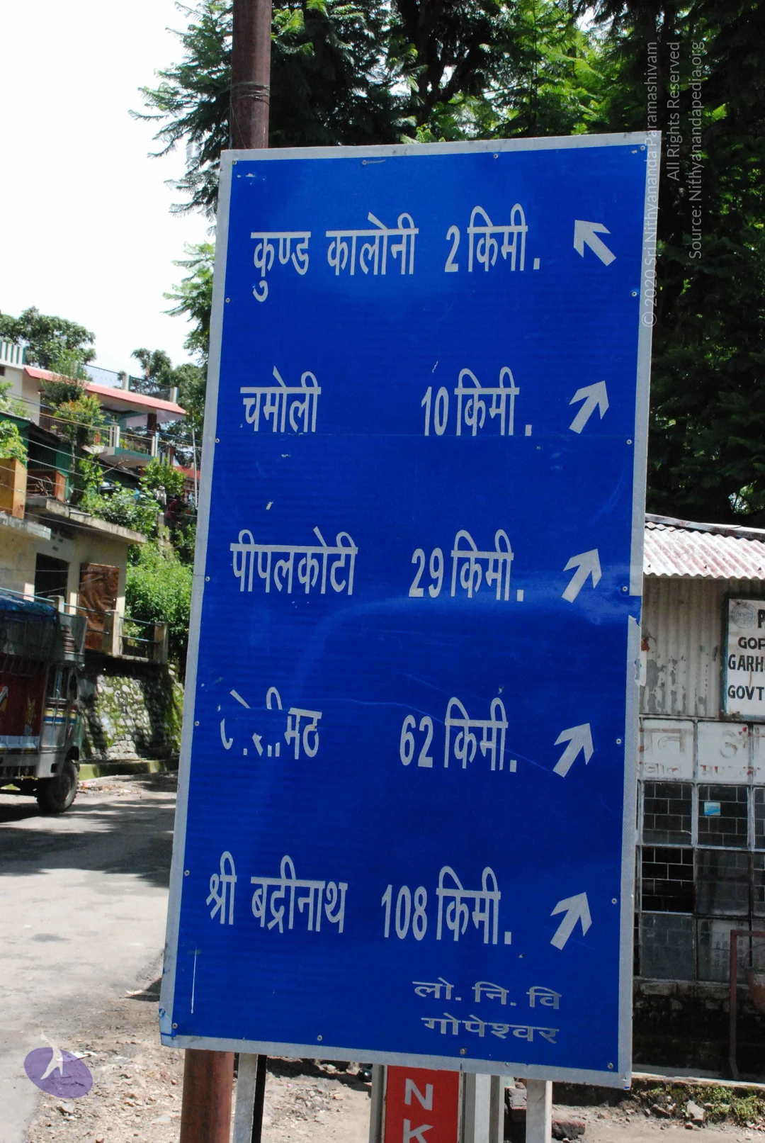
A photograph of a tall blue road direction sign on a roadside, with white Devanagari lettering and arrows. It lists Kund Colony 2 km, Chamoli 10 km, Pipalkoti 29 km, a place name partly obscured (likely Joshimath) 62 km, and Sri Badrinath 108 km, with the signature Gopeshwar at the bottom. Behind it are multi-storey houses on a hillside, trees, a parked truck on the left, and a small corrugated-roof shop with a sign reading Gopeshwar Garhwal Govt. No people are visible.
Photo 360 of 560 from 7 July 2008